
-
Reviews published since 2009 — updated every season
-
Weekly Episode
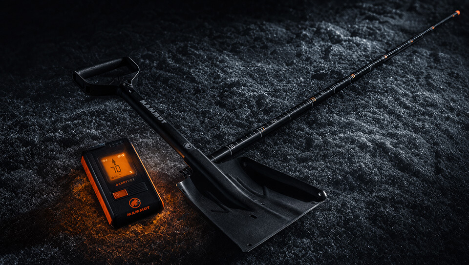
Avalanche Conditions Report
Weekly snowpack summary covering Rogers Pass, the Selkirks and the Canadian Rockies. Published every Friday throughout the season.
Listen Now →
Weekly avalanche & safety updates throughout the season
-
Proprietary Content
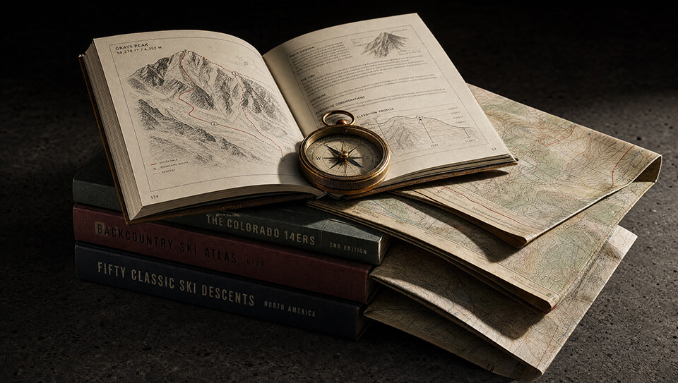
BSC Guide Books & Maps
Researched and written by our team. Printed guides and georeferenced digital maps for Canada's best backcountry terrain.
Shop the Store →
Printed guides + georeferenced digital maps — all authored by BSC
-
-
Know Before You Go
Check Today's Forecast
Real-time avalanche danger ratings updated daily by Avalanche Canada. Always check before heading out.
View Forecast →
Avalanche awareness saves lives
-
Know Before You Go
Check Today's Forecast
Real-time avalanche danger ratings updated daily by Avalanche Canada. Always check before heading out.
View Forecast →
240+ videos — gear reviews, conditions reports & backcountry edits



Rogers Pass Uptracks, Bootpacks & Bushwhacks Book
Featuring 100 backcountry ski tours in the Rogers Pass area, GeoBackcountry Rogers Pass | Uptracks, Bootpacks & Bushwhacks is a 6x9”, 304 page softcover book that includes 262 beautifully illustrated images and also features 14 custom illustrated maps with a geo-referenced grid and an utmost attention to detail. The navigable, geo-referenced maps are custom designed for skiers, by a skier for use in the field!
|
|


• Designed in Revelstoke, BC. Printed in Canada.
• Second Edition
• 304 pages
• Heavy-duty coated paper and cover
• Rounded corners
• 100 awesome routes with variations
• Illustrated images marked with ski routes
• Illustrated, Geo-referenced maps marked with ski routes
• Glacier National Park Regulations
• Impressive and useful Beta
• Accommodations and Huts
• Safety Information & Self-Rescue Action Plans
• GPS Data is included in 3 different formats: UTM, DD, and MGRS.
• Crucial parking beta with locations, elevations, GPS coordinates and Parks Canada Parking Permit requirements.
• Units are displayed in imperial and metric to help visitors that are used to working in feet.
PRICE: $45.00
